
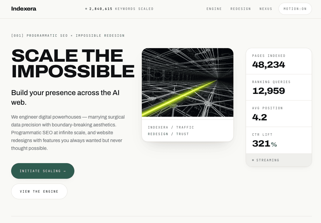
Indexera
Verified tool5.0(5)
Indexera is a custom programmatic SEO and AI search optimization service that helps businesses build massive organic visibility across Google and AI-powered search platforms.
SponsoredMarketing+1
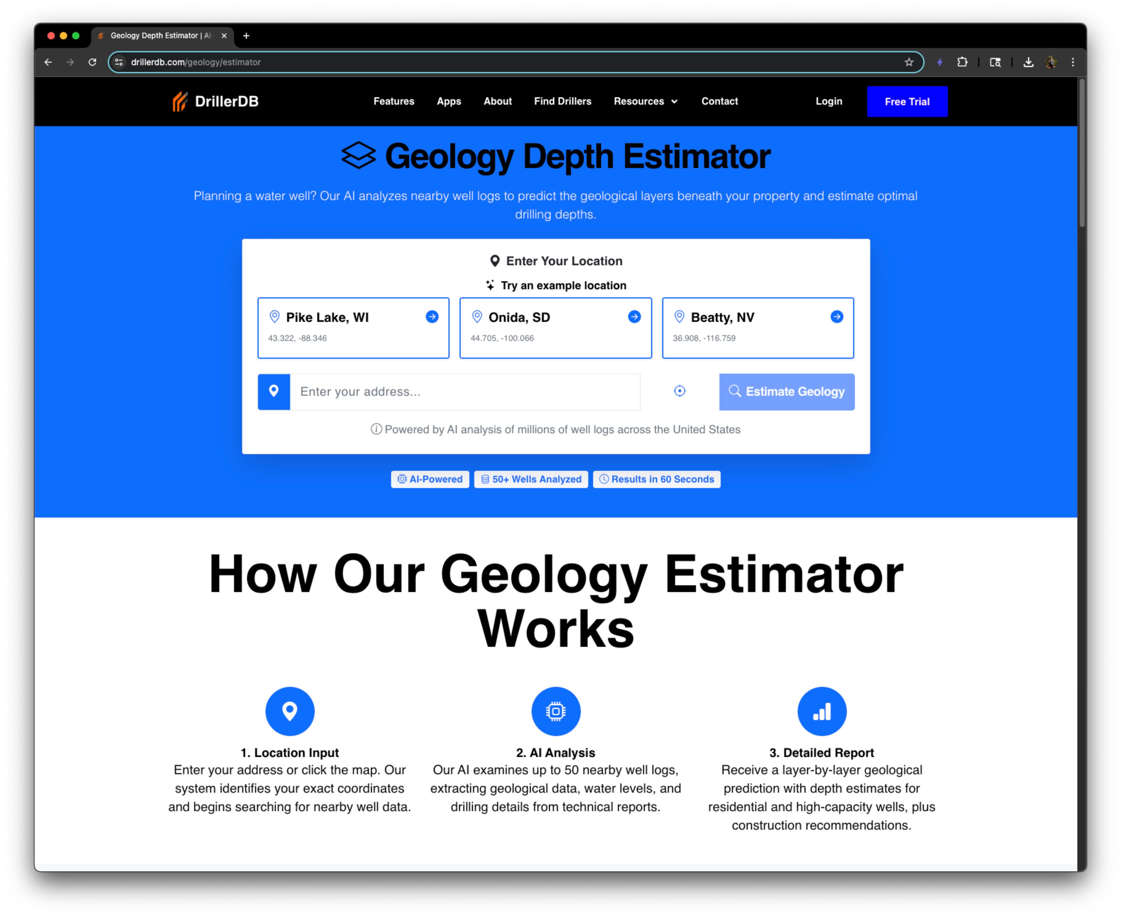
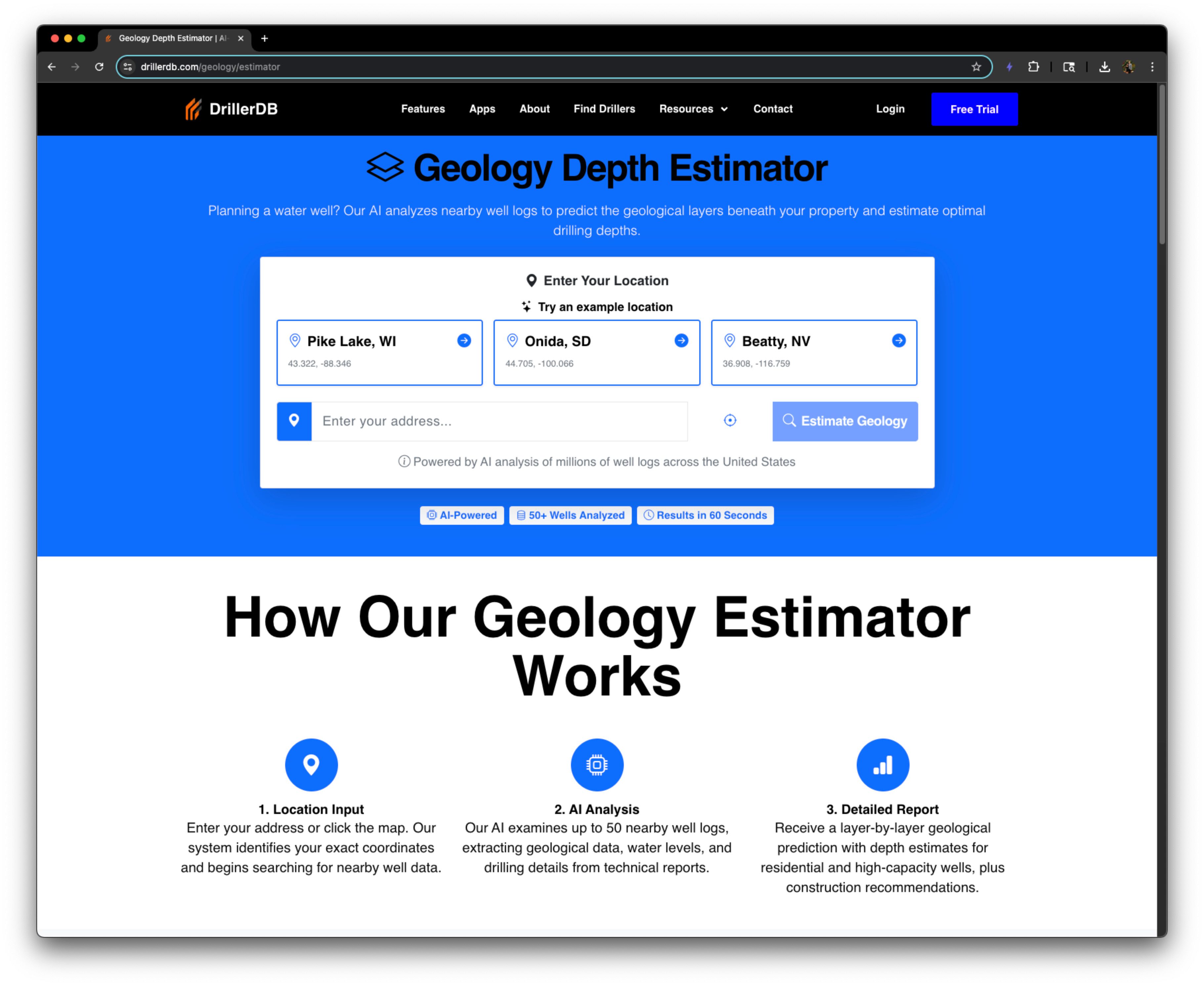
DrillerDB’s AI estimates local well depth, water levels, and stratigraphy at any U.S. address — plain English guidance for faster quotes and site planning.
The Geology Estimator draws from DrillerDB’s platform of public well records, standardized and enriched from state and federal sources to model conditions from shallow unconsolidated aquifers to deeper bedrock targets. Users can search an address and within seconds see a full geological analysis of their location. If enough data is not available at the location, the system will fall back to a simple depth estimate. This nationwide coverage pairs naturally with DrillerDB’s Interactive Well Map, giving drillers and homeowners a single place to explore well history, context, and predictions.
No reviews yet. Be the first to review Geology Estimator – DrillerDB.
Indexera is a custom programmatic SEO and AI search optimization service that helps businesses build massive organic visibility across Google and AI-powered search platforms.
$10/mo
AI for Monitoring Your Stocks, Uncovering Market Patterns, and Searching for Trade Ideas.
$0/mo
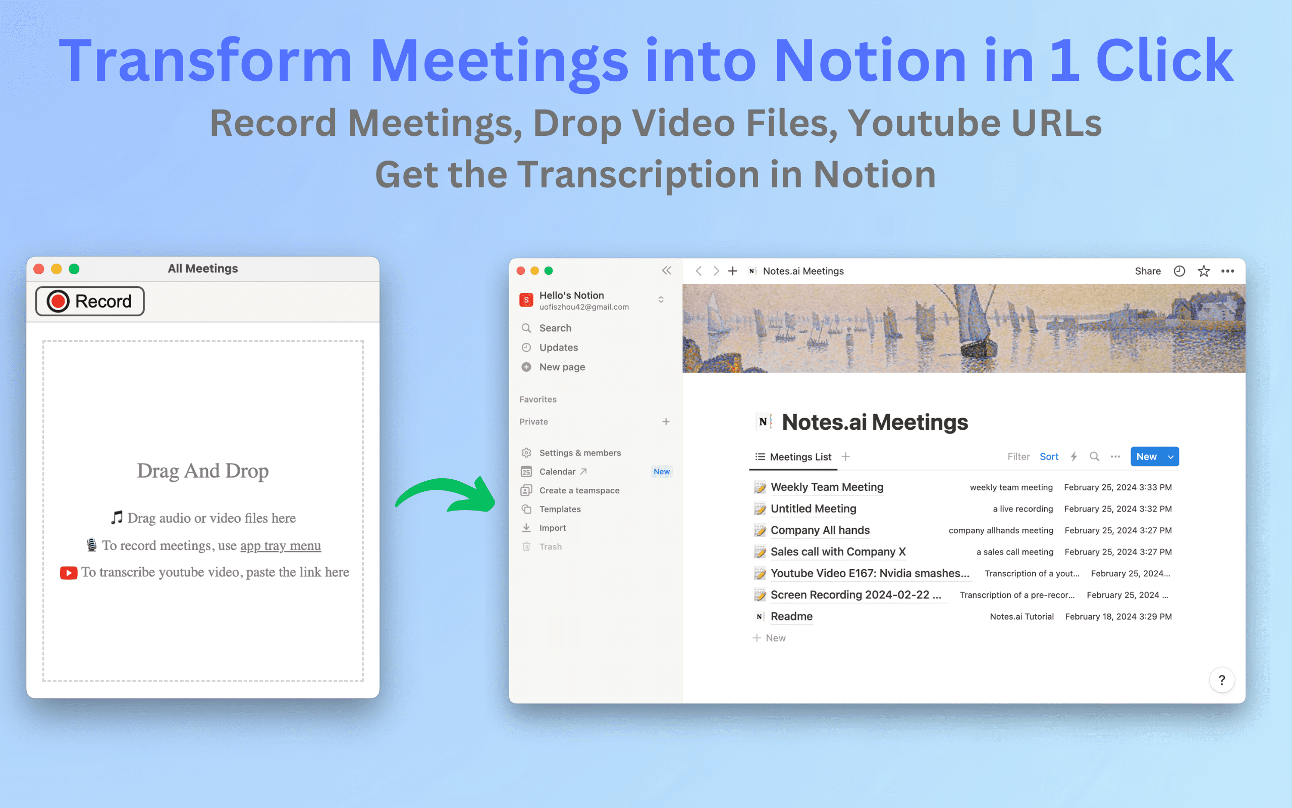
Notes.ai is a meetings transcription mac app that can record live meetings, ingest video files and youtube videos and transcribe them into user's Notion workspace for easy organization and access.

$30/mo
Supercharge your business with AI Customer Support Assitant.